
The Pacific Northwest Loop: Olympic Peninsula, Cascades, and the Columbia River Gorge

What Is the Pacific Northwest Loop?
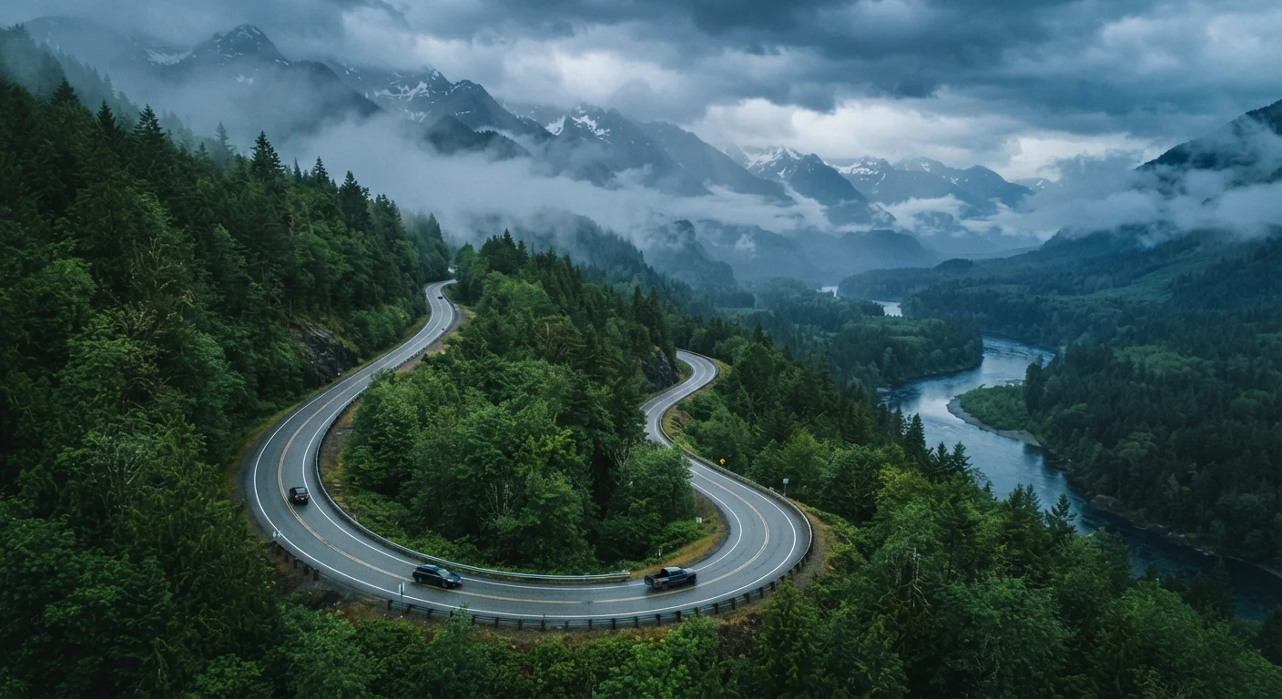
The Pacific Northwest Loop is a roughly 800-to-1,000-mile driving circuit — typically anchored in Seattle — that strings together three of the region's most distinct landscapes: the Olympic Peninsula's old-growth rainforests, the volcanic Cascades, and the wind-sculpted Columbia River Gorge. No single stretch of highway looks like the next. You might wake up with ocean fog on your windshield in the morning and be watching waterfalls cascade off basalt cliffs by evening.
Unlike a linear route such as the Pacific Coast Highway, this loop returns you to your starting point — making it well-suited to fly-in, fly-out travelers or Pacific Northwest residents wanting a comprehensive week on the road. The route passes through two national parks, multiple national forests, and one of the most geologically active zones in the contiguous United States.
The Three Major Segments
Olympic Peninsula
The western leg crosses Puget Sound via ferry or swings south around the Sound, then circles the Olympic Peninsula on US-101. Highlights include Hoh Rain Forest — one of the few temperate rainforests in North America — and the wild beaches of Olympic National Park's coastline near Kalaloch and Rialto Beach. Drivers should allocate at least two full days here; the moss-draped Sitka spruce stands demand more than a quick windshield view.
The Cascades
Returning east, the route picks up the North Cascades Highway (SR-20) or, for a more volcanic experience, continues south toward Mount Rainier National Park. SR-20 is one of the most dramatic paved roads in the Lower 48, cresting Washington Pass at roughly 5,477 feet. Note that SR-20 closes seasonally — typically late November through April — so timing matters. Mount Rainier offers its own distinct drama: a 14,411-foot stratovolcano visible from much of western Washington. If comparing this kind of immersive national park driving with a city-focused itinerary, the national parks vs. city-to-city road trip guide breaks down the trade-offs well.
Columbia River Gorge
The southern segment follows I-84 and the Historic Columbia River Highway through the Gorge — a 80-mile canyon carved by catastrophic Ice Age floods. Multnomah Falls, Vista House, and Crown Point sit along the Historic Highway, which was specifically designed for scenic motoring when it opened in 1916. The Gorge also marks a dramatic climate shift: the west end is wet and lush; the eastern end transitions into semi-arid grasslands within 30 miles.
Temperate Rainforest
A forest in a temperate climate zone that receives exceptionally high annual rainfall — typically over 55 inches — producing dense canopies and abundant mosses. The Hoh Rain Forest on the Olympic Peninsula is a classic example.
Stratovolcano
A tall, conical volcano built up by many layers of hardened lava and ash. Mount Rainier is a stratovolcano and is considered one of the most potentially hazardous volcanoes in the US by the USGS.
Timed Entry Reservation
A permit system used by some national parks to manage visitor numbers during peak periods. Drivers must book a reservation window in advance through Recreation.gov or the NPS website.
Historic Columbia River Highway
The first planned scenic roadway in the United States, opened in 1916 and designed to showcase the Columbia River Gorge. Portions have been restored as a multi-use trail and driving route.
Practical Planning Reference
The loop works in either direction; clockwise (Olympic Peninsula first, Gorge last) tends to build momentum from wilderness toward the more road-accessible Gorge scenery. Allow 7–10 days minimum to avoid rushed stops. Both Olympic and Mount Rainier national parks require entrance fees; timed entry reservations have been implemented at peak times — verify current requirements through the National Park Service before departure.
Cell coverage is sparse on large sections of US-101 and SR-20. Download offline maps and note that gas stations thin out considerably between Forks (on the peninsula) and some eastern Cascades towns. Weather shifts fast: the Cascades receive significant snowfall as early as October, while the Gorge can generate powerful east-west wind events that affect driving conditions on the bridge crossings near Hood River.
Drivers seeking additional scenic byway inspiration beyond this loop — including lesser-known stretches with minimal traffic — will find the underrated American scenic byways guide a useful companion resource.
Always verify road closures, park reservation requirements, and entry conditions with official National Park Service and Washington State DOT sources before your trip, as conditions and policies change seasonally.