

Key Takeaways
The Great River Road
The Great River Road is America's longest designated National Scenic Byway, stretching roughly 3,000 miles along both banks of the Mississippi River from its headwaters in northern Minnesota to the Gulf of Mexico in Louisiana. The route passes through ten states and is marked by the iconic green pilot's wheel sign. It isn't a single highway but a connected network of state and county roads chosen for their scenic, cultural, and historic significance.
Officially designated under the Federal Highway Administration's America's Byways program, the Great River Road encompasses multiple state-level programs and is managed cooperatively across all ten corridor states.
What the Great River Road Actually Is
Not every iconic American drive is a single, unbroken highway. The Great River Road is better understood as a designated travel corridor — a curated network of existing state and county roads, stitched together to follow the Mississippi as closely as geography allows. What unifies the route is a shared mission: preserve and celebrate the landscapes, communities, and history tied to America's most storied river.
Look for the green pilot's wheel. That circular nautical emblem, posted on roadside signs throughout all ten corridor states, is your compass. Lose the sign, and you may have drifted off-route onto a parallel highway. Find it again, and you're back in the story.
If you're new to long-distance byway driving, our guide to planning your first long-distance road trip covers the logistics — budgeting, pacing, and overnight planning — that make a route like this manageable rather than overwhelming.
~3,000
Miles of designated Great River Road corridor
The route spans both banks of the Mississippi across ten states, making it the longest National Scenic Byway in the United States.
10
States the byway passes through
From Minnesota in the north to Louisiana in the south, the corridor crosses ten distinct states with dramatically different landscapes and cultures.
2,340
Miles of the Mississippi River's total length
According to the U.S. Geological Survey, the Mississippi is the second-longest river in North America, flowing from Lake Itasca to the Gulf of Mexico.
The Upper River: Minnesota and the Bluff Country
The Mississippi begins not as a grand river but as a modest, clear stream flowing out of Lake Itasca in northern Minnesota — narrow enough to step across. Drive south from there, and the river builds momentum through pine forests, wild rice country, and the culturally rich Twin Cities metro before entering one of the most visually striking stretches on the entire route.
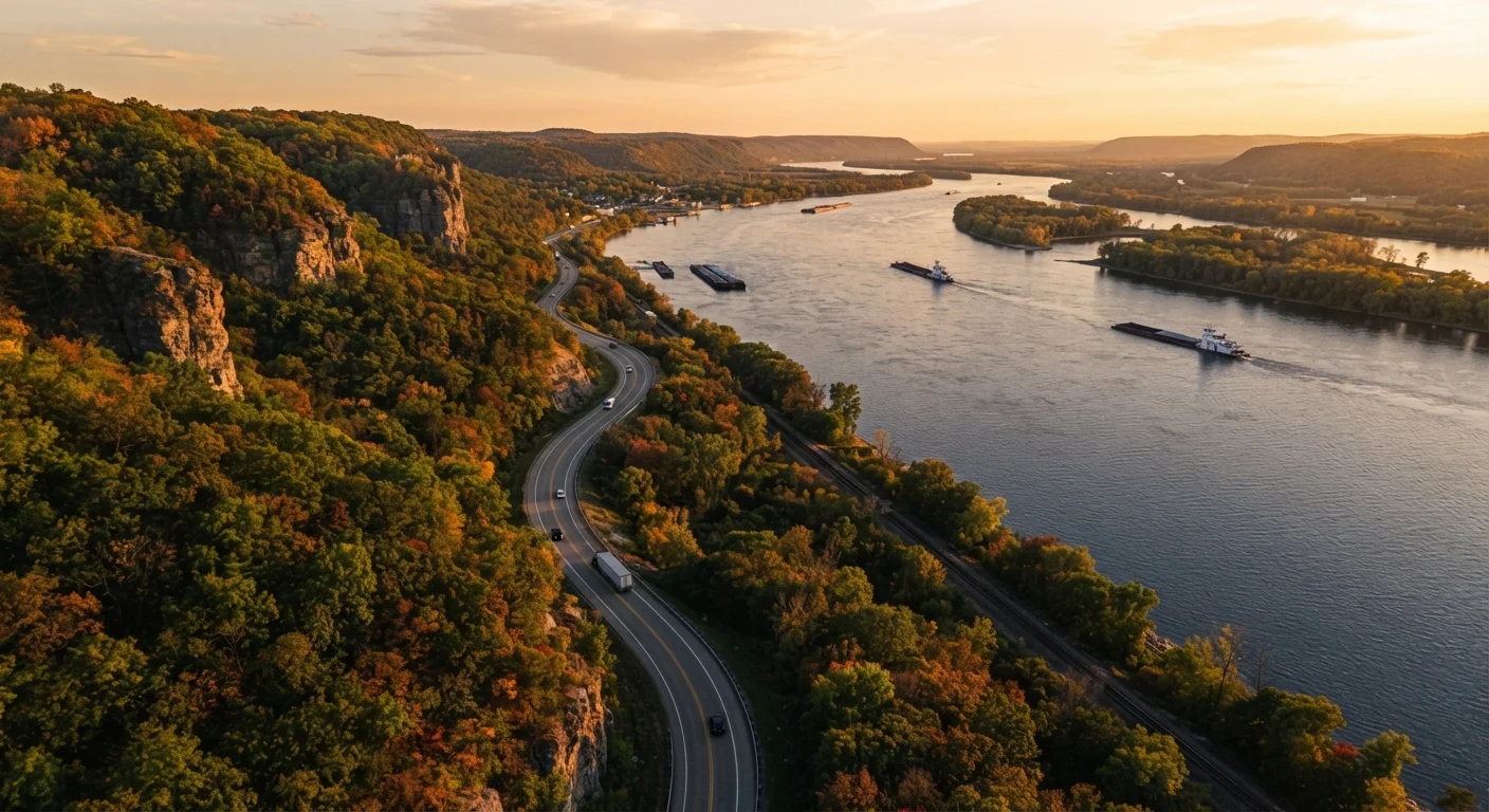
From Red Wing, Minnesota, southward through La Crosse, Wisconsin, and down into Dubuque, Iowa, the river carves through ancient limestone bluffs that rise dramatically above the water. This is the section travelers most often describe as a revelation — the kind of scenery that doesn't match any postcard image of the Midwest most Americans carry in their heads.
Use Both Banks for a Richer Experience
The Great River Road runs along both the eastern and western banks of the Mississippi, and the views differ considerably depending on which side you're on. If your schedule allows, consider crossing the river at designated points to sample perspectives from both shores. Many of the most dramatic overlooks sit on the Wisconsin and Iowa sides of the upper corridor.
Wisconsin's Great River Road specifically traces Highway 35, a winding two-lane road that passes through small river towns like Pepin and Alma. These communities are quiet and genuine, offering a pace that rewards those who aren't simply passing through.
The Middle River: Iowa, Illinois, Missouri, and the Confluence
Below Dubuque, the landscape opens up. The bluffs soften, the floodplain widens, and the river takes on a different character — broader, muddier, and more industrially significant. This middle stretch passes through historic river towns whose fortunes rose and fell with steamboat commerce: Galena, Illinois; Hannibal, Missouri; and Ste. Genevieve, which contains some of the oldest European-settled architecture west of the Appalachians.
At Cairo, Illinois, the Ohio River joins the Mississippi in a confluence that visibly doubles the river's volume almost overnight. South of here, the current runs deeper and the landscape begins its slow transition toward the flat, agriculturally intense terrain of the lower corridor.
This middle section is also where the route can catch drivers off guard. Roads are less consistently scenic, signage occasionally lapses, and distances between points of interest grow longer. Some American drives are longer and more isolated than they appear on a map — this applies here, especially in rural Arkansas and Missouri.
The Lower River: Delta Country, Blues Culture, and Louisiana's Bayous
Below Memphis, the Mississippi Delta opens into a flat, fertile plain that stretches to the horizon in every direction. This is the birthplace of American blues music, and the cultural weight of the landscape is palpable — in the small Delta towns, the roadside juke joints, and the agricultural history embedded in the land itself.
Natchez, Mississippi, anchors the lower route with one of the largest concentrations of antebellum architecture in the country, much of it open for tours. From Natchez, the road curves west and south into Louisiana, where the river's ecology shifts entirely: cypress swamps, Spanish moss, crawfish farms, and eventually the broad industrial approach to New Orleans.
The final miles to the Gulf are more industrial than scenic, but the journey through Louisiana is anything but ordinary. Paired with our guide to road tripping the American South, the lower Great River Road becomes part of a larger Southern narrative worth exploring thoroughly.
Planning Your Drive: Segments, Timing, and Realistic Expectations
Few travelers complete the entire Great River Road in a single trip, and there's no reason to feel obligated to do so. The corridor divides naturally into logical segments by state or region, each requiring roughly three to five days to explore at a comfortable pace. Choosing one or two segments based on your starting point and interests is both practical and deeply satisfying.
Timing matters more than many travelers expect. Fall foliage peaks along the upper river from mid-September through mid-October and transforms the bluff country into something extraordinary. Spring can bring flooding that temporarily reroutes or closes low-lying sections. Summer is the most popular season but also brings heat and humidity, especially in the Deep South.
For travelers curious about what else exists beyond the Mississippi corridor, there are dozens of other designated byways across the US worth knowing about — some with far less traffic and equally compelling landscapes.
Road conditions, seasonal closures, and travel advisories along the Great River Road vary by state and season. Always verify current route conditions with official state transportation departments or the relevant National Scenic Byway resources before departing.