

Key Takeaways
Why the Map Is Not the Road
A route that looks like a breezy afternoon on a digital map can turn into a full-day slog — or a white-knuckle situation — when real-world conditions enter the picture. Elevation changes, unpaved stretches, seasonal road closures, and service gaps all vanish at the zoom level most people use during trip planning. First-time long-distance drivers often discover these realities mid-trip, which is exactly the wrong time to find out.
The good news: every one of these surprises is avoidable. The drivers who handle them well aren't necessarily more experienced — they're just better informed before they leave the driveway. Whether you're charting a classic route or heading somewhere off the beaten path, understanding where roads have a habit of humbling newcomers is the first step to staying ahead of the situation.
See our guide to planning your first long-distance road trip for a broader foundation before diving into the specific mistakes below.
Assuming fuel stops are frequent on rural western highways.
Why it happens: Digital maps show roads clearly but rarely highlight service gaps. Drivers accustomed to the densely serviced Northeast or Midwest don't realize how far apart stations can be in the Great Basin or rural Montana.
Planning average speeds based on the posted limit, not the actual road.
Why it happens: A road rated at 55 mph may have switchbacks, pull-outs, wildlife crossings, RV traffic, or construction that cuts realistic progress nearly in half. The Blue Ridge Parkway, for example, averages much slower than its 45 mph limit suggests.
Relying entirely on GPS or cell-based navigation in remote areas.
Why it happens: Smartphone navigation works so reliably in urban areas that travelers forget it depends on a signal. Large portions of Nevada, Wyoming, and the rural South have dead zones that can last hours.
Treating a scenic byway the same as an interstate for scheduling purposes.
Why it happens: Travelers often route through a famous scenic road as a shortcut or quick detour without realizing it adds significant time — and that the point of the road is to slow down.
Ignoring seasonal road conditions and closures.
Why it happens: Many iconic mountain passes and park roads close seasonally — sometimes well into June — and online mapping tools don't always reflect temporary closures. First-timers assume a road that exists on the map is open.
Underestimating driver fatigue on long featureless stretches.
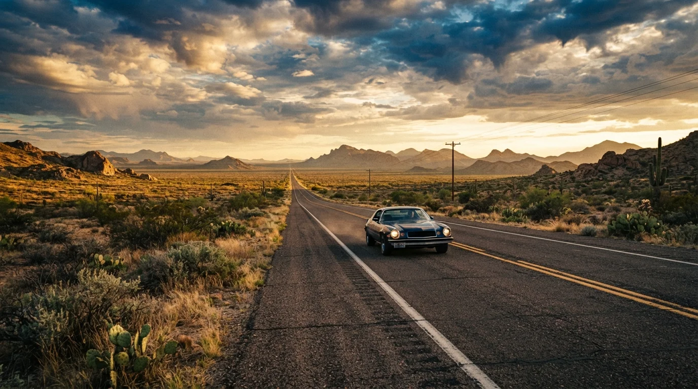
Why it happens: Straight, monotonous highways through the Great Plains or Mojave can induce a trance-like state faster than most drivers expect, particularly in the early afternoon. It's easy to feel fine and then suddenly realize you've lost focus.
Staying Ahead of the Road: Practical Habits That Help
The drivers who navigate demanding stretches smoothly tend to share a few habits. They check state DOT websites and 511 hotlines for road conditions before departure — not just weather apps. They carry a physical map as backup in case cell service vanishes. And they build in buffer time, treating scenic roads as destinations rather than connectors.
100+ miles
Longest service gaps on remote US highways
Some stretches of US-50 in Nevada and similar rural corridors can go over 100 miles between open fuel and food services, particularly outside peak season.
~15 mph
Realistic average speed on steep mountain switchbacks
On tight alpine roads like Trail Ridge Road or sections of Going-to-the-Sun Road, average progress can drop well below posted limits due to curves, wildlife, and stop-and-go sightseeing traffic.
72%
US land area with limited or no cell coverage
According to FCC coverage data, a significant portion of rural American geography — particularly in the West and Great Plains — falls outside reliable mobile network reach.
Fuel discipline is especially important. On routes crossing Nevada, eastern Montana, or the Texas Panhandle, gaps of 80 to over 100 miles between open gas stations are common. A general rule: fill up whenever you drop below half a tank in rural areas, regardless of whether you think you'll need to. The same logic applies to water and snacks — remote breakdowns can mean waiting hours for help.
If you're traveling with younger passengers, those unexpected delays hit differently. The strategies that make family road trips actually work overlap significantly with general preparedness: snacks, a plan for downtime, and realistic daily mileage expectations.
Before any demanding drive, run through a solid pre-departure checklist. Our road trip readiness checklist covers vehicle prep, emergency gear, and documentation — the kind of details that only matter until something goes wrong. For more on managing costs across a longer trip, the guide to stretching a travel budget across two weeks is worth a read before you set your daily driving targets.
Mountain and Desert Roads Demand Extra Caution
Altitude, heat, and remoteness each stress vehicles differently — and often simultaneously. Brake fade on steep descents, overheating in desert climbs, and sudden afternoon thunderstorms on exposed passes are real risks that catch unprepared drivers off guard. If your vehicle hasn't been recently serviced, have a mechanic check brake condition, coolant levels, and tire pressure before tackling any high-elevation or desert route.
If your route crosses desert terrain in the Southwest, treat it as its own category of challenge. The dedicated guide to desert driving in the American Southwest covers heat management, vehicle prep, and what to do if something goes wrong in a place where help is genuinely far away.